top of page
Introduction to Drone Pro Photography
I've put together this page to help visualize what is possible, highlighting some of the work I've been involved with.
The content on this page is best viewed on a computer or tablet to fully appreciate it!
Construction Progress Slider
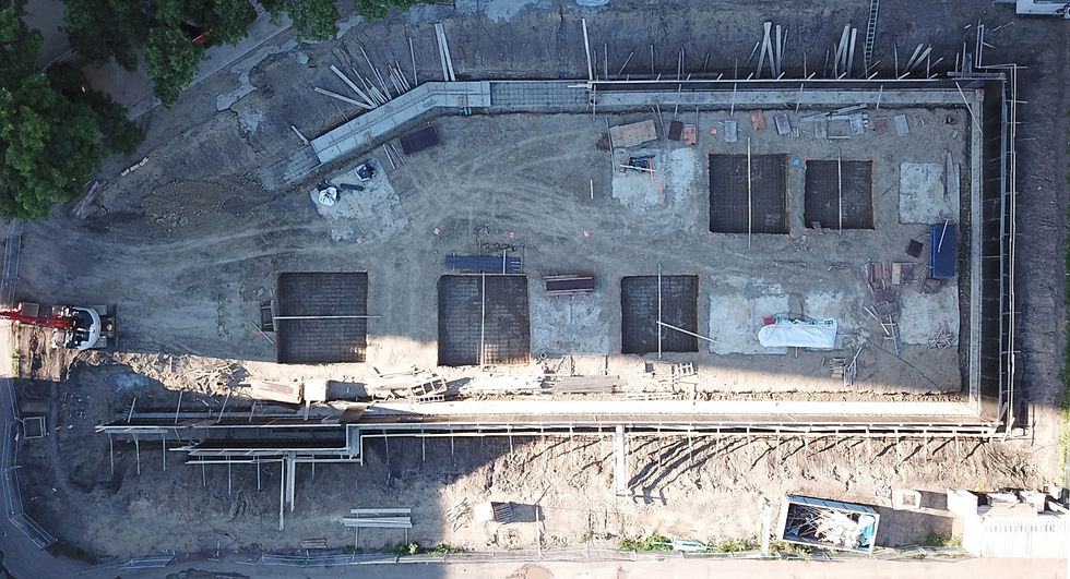
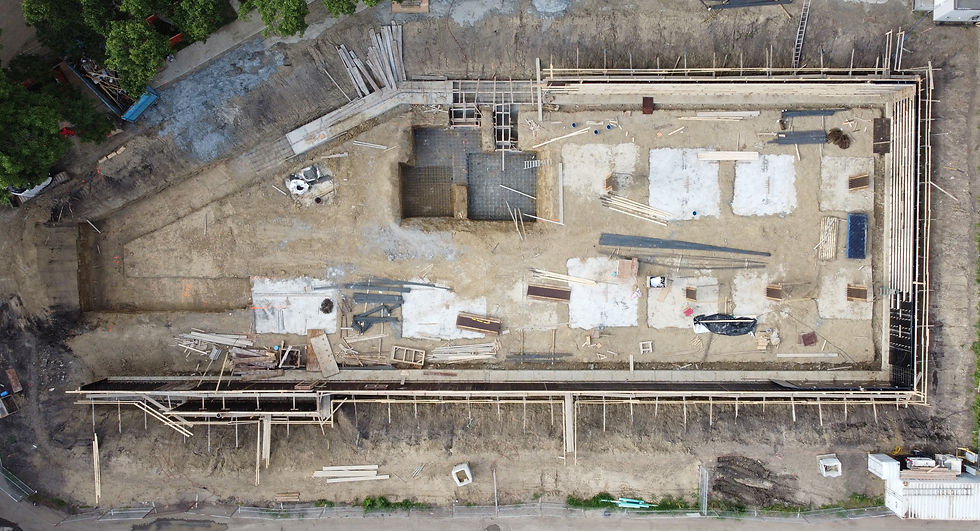
Drone images can be scheduled monthly, weekly, etc to track the progress of a construction site. The images can be displayed in a slider as shown below, or in a photo gallery shown below the slider. Move the slider left or right to see differences between the July 22 and August 4 images below:
Construction Progress Slideshow

2020-07-27

2020-07-30

2020-10-18

2020-07-27
1/14
The video below consists of about 14 "waypoints" and 20 "markers" which I pre-programmed on my computer and uploaded to the drone. The waypoints and makers tell the drone where to fly and where to point its camera. I can replicate the same flight (and video), with the same views and camera angles, each week. All I have to do is press "go" on the drone, and the drone will fly itself and recreate the same flight path.

Construction progress bird's-eye-view progression video:
Solar Power 3d model and design:
High Detail Drone Imagery
Each of the 400+ blue dots shown below represents a drone photo location:

The end result
High detail image, consisting of 400+ photos seamlessly stitched together:

The high-detail image can be imported easily into Google Earth:

Accurate measurements can be taken in Google Earth:

Create 3d models of your construction site:
Use the 3D model to take measurements and to count items on site:
Construction 360 Panoramas
Best viewed full-screen
Other Services and Information
-
We have worked on commercial real estate sites, both for existing buildings for lease or sale and for land leases/sales.
-
We have also worked on residential real estate projects.
-
We have a certificate from Transport Canada to fly drones legally in the "Advanced" category. Obtaining this certificate requires an 80% passing grade on a written exam in addition to an in-person practical flight review exam.
-
Interested in more information? Email info@drone-pro.ca
bottom of page